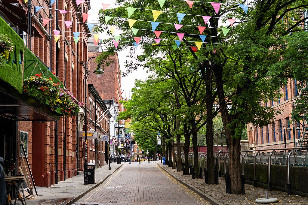
Rochdale Canal walk – Photo supplied by City Suite Images
| Start/Finish | Category | Distance | Estimated Walking Time |
| Piccadilly Station / St Peters Square | History and Architecture | 3.1 km | 45 min* |
Summary
This walks explores the Rochdale Canal, including the historic Roman fort wall reconstruction (Mamucium), before finishing back at St Peter’s Square.
Public transport
Catch a train to Piccadilly Station.
Directions
Starting Point – Piccadilly train station
This walk starts outside Piccadilly train station in Fairfield St. From the station walk in a westerly direction and then turn right at Coburg St. Cross over the road at the pedestrian island and turn left down Aytoun St and then Whitworth St in a south westerly direction.
On the boundary of Whitworth St is Sackville Gardens. Enter the gardens, walking through the park in a northwesterly direction. In the middle of the park is the Alan Turing memorial. Alan Turing was an English mathematician and is widely considered to be the father of theoretical computer science. The statue commemorates Turing’s life and the contribution he made to the development of modern computing.
Alan Turing memorial
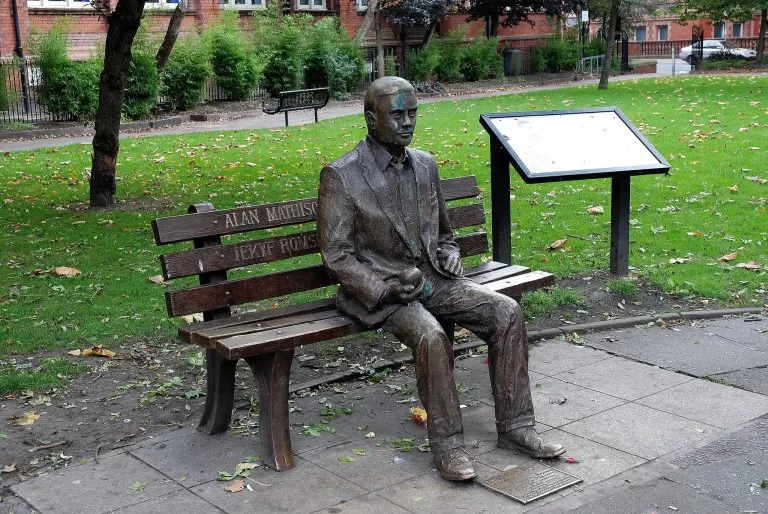
Alan Turing memorial, photo supplied by Paul Hermans
From the Gardens walk to Sackville St, which runs along the western side of the park. Continue over the bridge and then turn left down Canal St. This will take you past Gay Village and to the Rochdale Canal Tow Path. The Tow Path is located just before the Princess St bridge. Cross over to the other side of the canal at the footbridge and walk along the tow path in a southwesterly direction.
The walk follows the Rochdale Canal Tow Path past the Palace Theatre right up to Castle St. Turn right up Castle St and then right down Duke St. This will take you past the Roman Fort Wall reconstruction, known as Mamucium. The fort ruins in this area were left undisturbed until the industrial revolution in the late 18th century when it was levelled to make way for the Rochdale Canal and the Great Northern railway. A section of the fort’s wall has been reconstructed and is open to the public.
From the Mamucium continue up Duke St then turn left on Rice St, right down Wellington Place and continue down Lower Byrom St in a northerly direction. From here turn right into St John’s Gardens exiting on the eastern side of the park. Continue down St John’s St, turn left down Deansgate and then right along Peter St. On Peter St you will pass Albert Hall, which is a music venue but originally built as a Methodist central hall in 1908.
Finish – St Peters Square
From Albert Hall continue eastwards until you reach St Peters Square, which is where the walk ends. To get home you can catch a tram at St Peter’s square tram stop.
Rochdale Canal walk – GPX file
To access to the GPX file for this walk click on the download button below.
Information on GPX files and how to import them into Google maps on your phone can be found here.
Rochdale Canal walk- Map
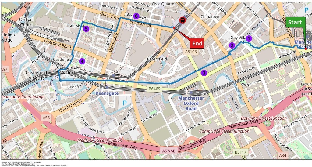
Start – Piccadilly Station
- Alan Turing Memorial
- Canal Street (Gay Village)
- Palace Theatre
- Roman Fort Wall Reconstruction
- St John’s Gardens
- Albert Hall
Finish – St Peters Square