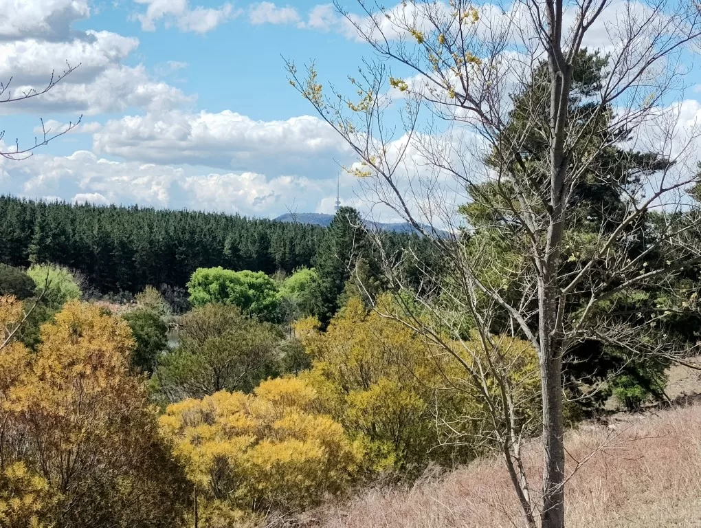
Canberra nature walk – Molonglo river corridor with Telstra tower in background
| Start/Finish | Category | Distance | Estimated Walking Time |
| Yarralumla shops / Stromolo cottage | Nature | 7.8 km | 2 hrs* |
Summary
A hidden nature walk in the heart of Canberra. Starting in Yarralumla this walk winds through native bushland along the Molonglo river corridor before finishing in the newly built suburb of Coombs.
Public transport
Catch a bus to Yarralumla shops. Finishes in the suburb of Coombs where you can use the R 10 rapid bus service to get back to the city.
Directions
Starting point – Yarralumla shops
This walk starts at Yarralumla shops. To get there you can catch a bus from the city. If you need a drink or bite to eat Yarralumla shops is the best place to stock up as there are no other shops along the way.
From Yarralumla shops head north down Novar St in the direction of Lake Burley Griffin. At the end of Novar St turn left down Brown St, right up Weston Park Rd and then follow the path that goes behind Yarralumla dog park heading in a westerly direction.
The path winds around the back of the Royal Canberra Golf Club and will take you to the lake foreshore, which is the start of the Molonglo river corridor. There are quite a lot of kangaroos in this area, so don’t be surprised if you see the odd eastern grey kangaroo lazing under a eucalyptus tree.
Follow the path over the Warrina inlet footbridge, across Dunrossil Drive and then under Lady Denman Drive. If you want to take a rest continue north to the Government House lookout, which is just a bit further up on the other side of the road and provides views to Government House. This building is the official residence of the Governor General who represents the King as Australia’s head of state. To the west of the lookout is the Canberra Zoo and Aquarium. If you look carefully you might also spot a giraffe in the distance!
Government House, Canberra
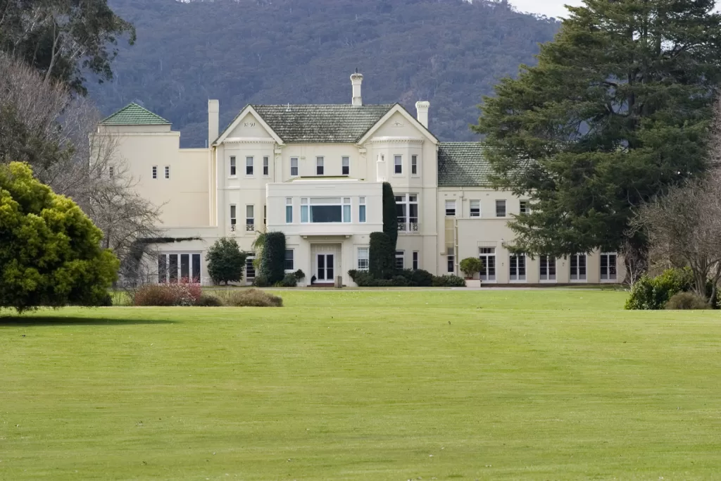
Governor General’s residence – Image supplied
From the lookout cross back over Lady Denman Drive and walk south along the bike path until you get to the Bicentennial trail and the Molonglo river crossing. Walk over the crossing to the other side of the river and then south along the Bicentennial National Trail, which is part of Australia’s premier long distance trekking route. If you are interested you can find out more about the bicentennial trail here.
This part of the hike runs adjacent to the Molonglo river and ACT’s commercial pine forest plantation. It should be noted that access to these trails can be limited in fire season, so the best time to do this walk is before summer when temperatures can be quite hot.
Molonglo river corridor
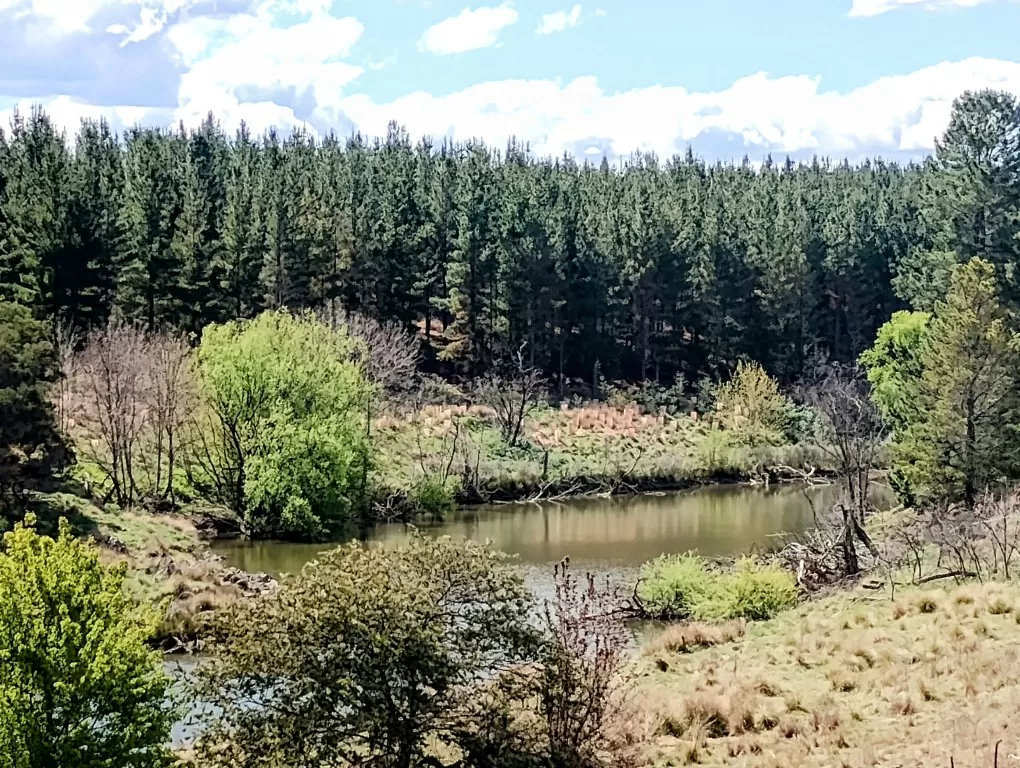
Molonglo river corridor, Canberra
Continue along the bicentennial trail heading south west and under the Tuggeranong parkway. This section of the walk is teaming with Australian wildlife. In particular, there is a wide variety of native bird species such as the black cockatoo which live in the pine plantations.
Finish
Eventually you will reach Clos crossing which take you back to the other side of the river and into the newly established suburb of Coombs.
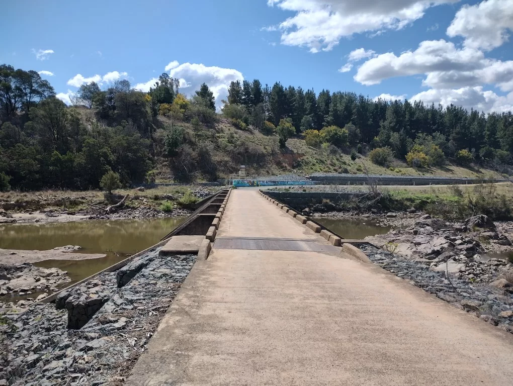
Cros crossing, Coombs
The walk ends at Stromlo cottage. To get home you can catch the rapid bus service back to the city.
Canberra nature walk – GPX file
To access to the GPX file for this walk click on the download button below.
Information on GPX files and how to import them into Google Maps on your phone can be found here.
Canberra nature walk – Map
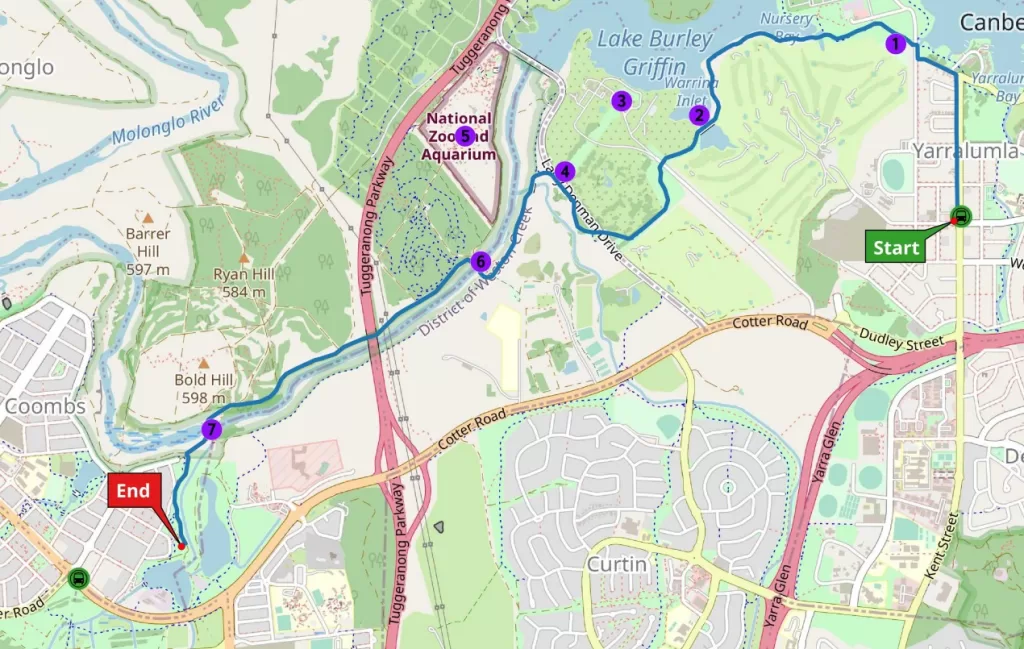
Start – Yarralumla Shops
- Yarralumla Dog Park
- Warrina Inlet Footbridge
- Government House
- Government House Lookout
- National Zoo and Aquarium
- Molonglo River Crossing
- Clos Crossing (Coombs)
End – Stromlo Cottage
